
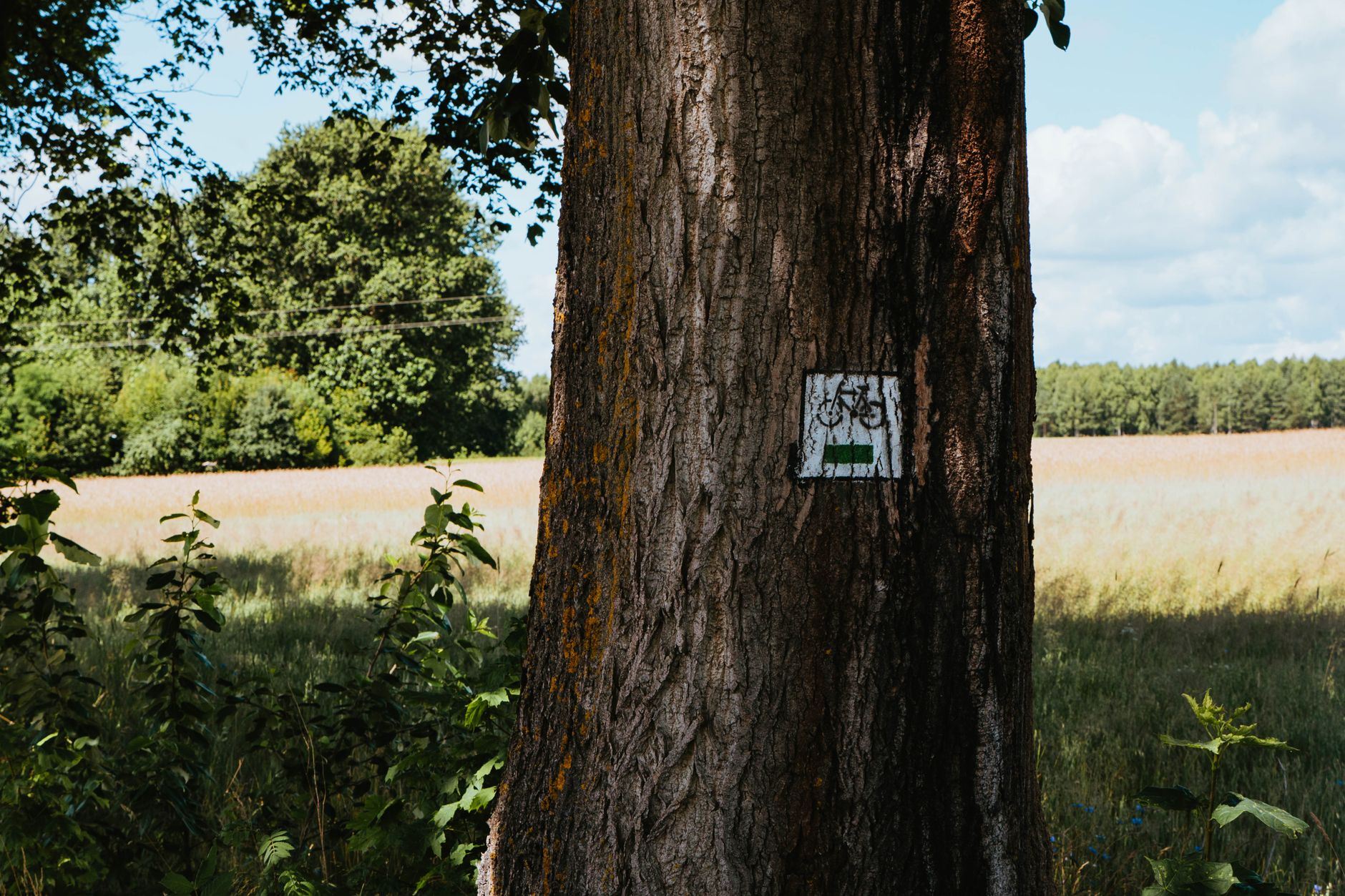
Follow the Old Railroad: Making the Paul Bunyan State Trail Part of Everyday Brainerd
If you’re trying to understand how Brainerd fits together—not just where to eat or what lake to sit by—here’s a surprisingly useful trick: follow the transportation corridors.
Brainerd grew up along the Mississippi River, and that river still shapes how people move, where parks and crossings land, and how the city feels from one side to the other. But there’s another corridor you can “read” with your feet or your bike: the Paul Bunyan State Trail, a route the Minnesota DNR describes as primarily following a former Burlington Northern Railroad grade and extending between Crow Wing State Park and Lake Bemidji State Park. (For the official overview and maps, start with the Minnesota DNR’s Paul Bunyan State Trail page.)
Here’s the local advantage: the DNR notes access/parking in Baxter, which makes Brainerd/Baxter an easy gateway into a statewide-scale trail corridor without having to plan an all-day expedition first.
Why “former railroad grade” matters when you’re choosing a trail
That phrase—former railroad grade—isn’t trivia. It tells you what kind of outing you’re signing up for.
Railroads were engineered for long-haul efficiency, so a rail-grade trail often feels different than a winding hiking path:
- Navigation is simpler. You’re on a corridor designed to connect communities, not a loop designed to bring you back to the same parking lot.
- Your effort is easier to predict. You’re less likely to be surprised by constant steep, punchy hills.
- It’s a “connector,” not just a destination. Mentally, you can treat it like a quiet alternative route through the region.
That’s a big deal in the Brainerd Lakes Area, where it’s easy to think of recreation as something you drive to—a beach, a boat landing, a resort. A corridor trail flips that. It lets you move through the landscape, at human speed.
Start in Baxter, then think like a local
The most practical first step is also the least glamorous: pull up the DNR trail page and look for the Baxter access/parking information. The goal isn’t to memorize every trailhead; it’s to pick one reliable starting point you can return to in different seasons.
Then make one small choice that locals make instinctively:
Do you want your outing to be “out-and-back,” or do you want it to be “A-to-B”?
- Out-and-back is easiest for a first visit (park once, turn around when you’re ready).
- A-to-B is where the trail really shines—but it usually means coordinating a second vehicle, a drop-off, or a ride.
If you’re new to the area, start with out-and-back. You’ll learn how the corridor feels, what you tend to forget to bring, and how much time you actually like spending on a linear trail.
A simple way to plan your first Paul Bunyan day (without overplanning)
Because we’re not guessing about current conditions, surfaces, or amenities, keep your plan flexible and evidence-based. Here’s a framework that works year-round:
- Use the DNR page as your “source of truth.” The Paul Bunyan State Trail is a managed public asset; the DNR page is where you’ll find the most reliable, non-rumor baseline. Start here: Paul Bunyan State Trail.
- Pick a turnaround rule before you start. For example: “Turn around at the 45-minute mark,” or “Turn around when we hit a road crossing we recognize.” (That’s not about strict fitness—it’s about avoiding the classic Brainerd problem of ‘We went out too far and now we’re racing daylight.’)
- Pack for the corridor, not for a park. A corridor trail can feel wonderfully continuous, which also means you shouldn’t assume services are frequent. Bring water and a way to navigate (even if it’s just a downloaded map).
- Treat seasons as real. The Lakes Area is famously seasonal in how people recreate and travel; don’t turn “typical” patterns into assumptions about today. If conditions matter to your plan, verify them with the managing organization.
The underrated question: can you combine transit and the trail?
A lot of people in Brainerd/Baxter quietly want the same thing: an outdoor option that doesn’t require owning the “right” vehicle (or driving twice).
Public transportation can be part of that solution—but only if you start with the right expectation. Brainerd & Crow Wing Public Transit publishes separate information for Brainerd/Baxter and for county services, which is your clue not to assume identical coverage across the whole Lakes Area. (Begin here: Brainerd & Crow Wing Public Transit.)
A smart, reality-based approach looks like this:
- Check whether the service details you’re reading are Brainerd/Baxter or county service.
- Build a plan that still works if transit timing changes—because schedules and eligibility details are the kinds of things that must be confirmed directly with the provider.
Even if you don’t use transit every time, knowing it exists—and knowing how the service area is communicated—makes the region easier to live in.
A trail that explains the region
One reason this corridor feels so “Brainerd” is that Brainerd and Baxter operate as a twin-center hub for the surrounding lake communities—where people come for services, shopping, appointments, and everyday errands. When you can step onto a trail corridor from that hub and head into the wider Northwoods system, you get a clearer sense of why this area works the way it does.
So if you’ve lived here for years, consider this your nudge to adopt a new routine: pick one Baxter access point, learn it well, and let the corridor teach you the map.
And if you’re visiting (or thinking about moving here), don’t ask, “What’s the best thing to do?” Ask something more Brainerd-shaped:
What changes when your outdoor time becomes part of your weekday life—not a special trip?